
Rae Lakes Loop
Sequoia National Park and Kings Canyon National Park: August 14 - 19, 2025

Pre-Trip Logistics
Permit & Travel
Getting a permit is extremely challenging, especially if you want to go during peak season and over a weekend.
May - September is quota season. Too early in the season can bring snow and high impassable rivers. Too late in the season can bring dried up rivers and forest fires. There are first come first served permits reserved for each day if you like to live on the edge. https://www.recreation.gov/permits/445857
Permits are released at 7:00am PST six months before you want to start your hike. Ideally, our trip would cover a weekend to minimize PTO days. I tried to get a permit a handful of times without success. This meant I woke up at 6:50am half asleep, grabbed my computer, refreshed the website and went back to sleep disappointed with my alarm set for the same time the next morning. I’m not sure why I get lucky one day and not the others. I recommend logging into your recreation.gov account, with all your information (credit card, license plate, camping zones) ready to go.
Gear & Clothing
Our daytime high was predicted to be 77 each day. And our nights were predicted to drop into the mid 40s. This was the general weather for the park and wasn’t taking into account the more drastic changes at elevation.
I followed my usual packing spreadsheet with a few minor modifications. Most notably, SEKI requires that you carry all your food in a bear can when you’re in the back country. We rented bear cans from the Grant Grove visitors station. They aren’t reservable ahead of time but the ranger I emailed confirmed they wouldn’t run out. The other abnormal packing recommendation was head nets for mosquitos. They were a bit irritating, particularly at lower elevations.
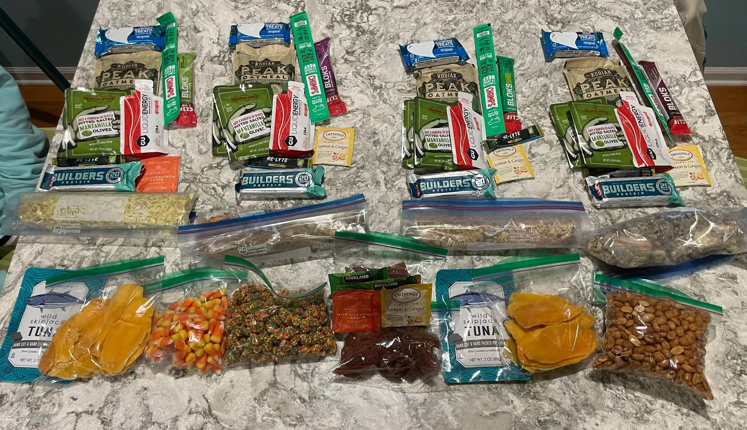
Food & Water: There were plenty of areas with running water when we were on the Loop. Depending on each year’s snowpack, rainfall, and heat - this can change. Check with the ranger station.
The ziplock bags across the middle of the photo are freeze-dried meals that I ate for dinner, repackaged into freezer bags to save on space in the bear can.
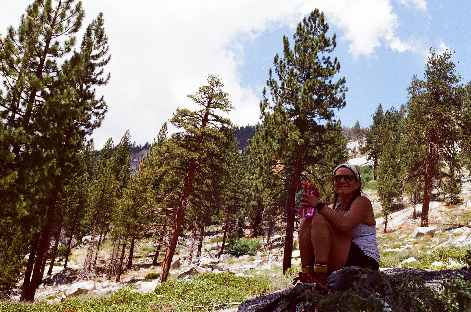
My favorite trail snack is packaged olives. When everything else you’re eating is dry or rehydrated, ‘fresh’ food with some juice hits different.
Day 1, August 14, 2025: I had already flown into SFO on August 10th to visit my Aunt who lives in Oakland and work out of my company’s SF office.
Mid-afternoon, I took the train from DTSF to San Jose. My friend, Ashley flew into JSO from Denver and landed late morning. Our other friend, Beth had been in San Jose for work all week and already had a rental car. She picked Ashley up and went to grab last minute items from REI until my train arrived.
Once we were all together, we headed to Azaela Campground. We had booked our campsite four months in advance when sites are released on a rolling basis. This campground was at elevation so our bodies could start acclimating. We weren’t picky about which site we reserved since we were only going to be there for the one night.
It was around a four hour drive from San Jose to Azaela Campground. We got to our spot, pitched our tent, and went to the Grant Grove Restaurant at the visitors center and had pizza for dinner. We enjoyed a fire since we weren’t planning on having one the rest of the trip and tried to get a good night of rest.
Day 2, August 15, 2025: We woke up, packed up camp and headed to Grant Grove visitors center to get our bear cans and refill our water bottles. We were taking our time until we read the fine print of our permit confirmation email. Permits are issued in person. Ours was being issued at the Roads End Permit Station, and had to be picked up by 10am otherwise the permit would be cancelled and made available to walk-ups. We had about an hour and a half drive from Grant Grove to the Permit Station and about the same amount of time to get there.
Thankfully, we made it in time. We got our permit, parked the car, repacked our packs, divided up the gear, and put all our food and scented items into the bear cans. We put anything scented we were going to leave in the car into the bear box in the parking lot.
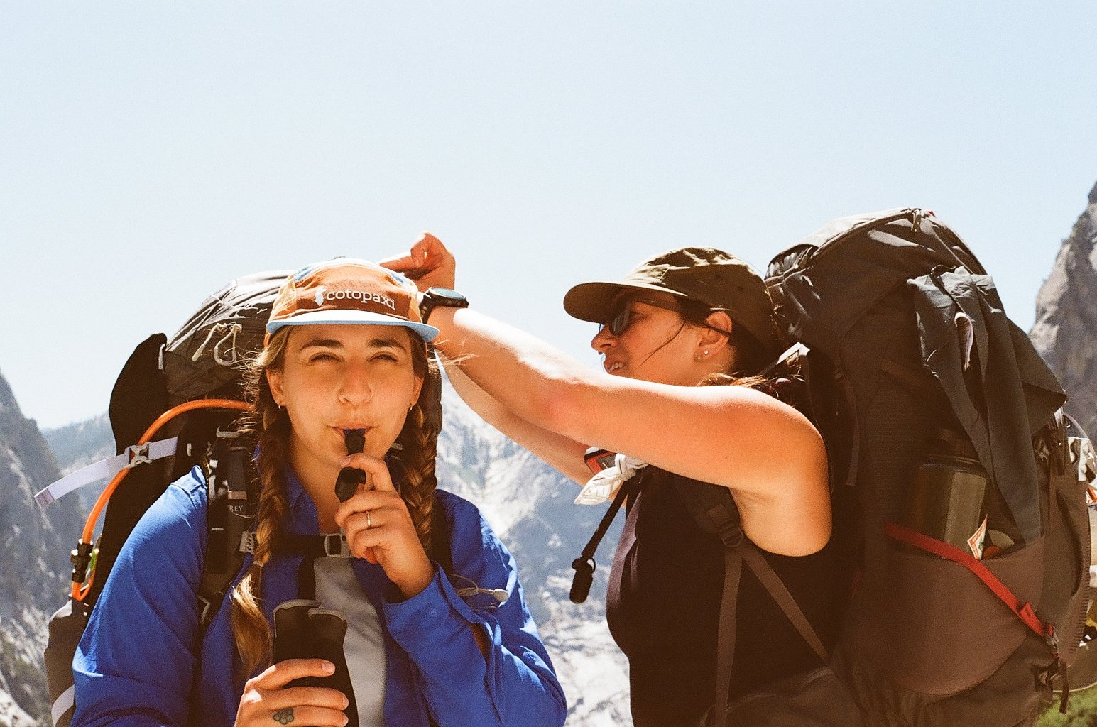
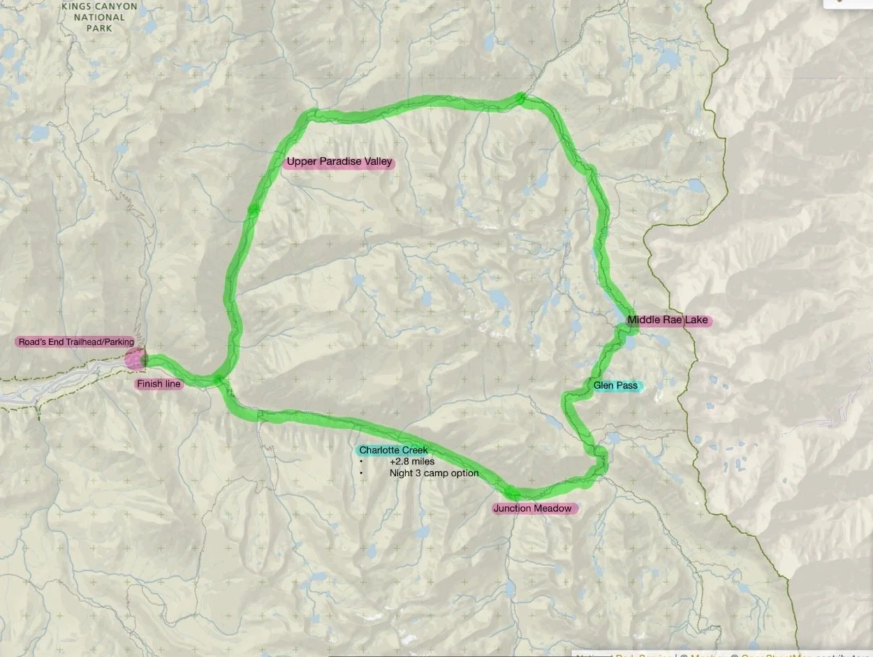
Our permit was to do the loop clockwise, entering at Woods Creek and exiting at Bubbs Creek. We started the first day pretty late, following along the creek to our right. Pretty quickly we were gaining elevation. The views of the valley were behind us and we stopped for snacks and water to appreciate it.
The first day of a trip is a lot of adjusting gear and your body acclimating to wearing a backpack. Skin is being chaffed off and tiny muscles rarely worked are being tested. Our backpacks were at their heaviest with barely any of our food eaten.
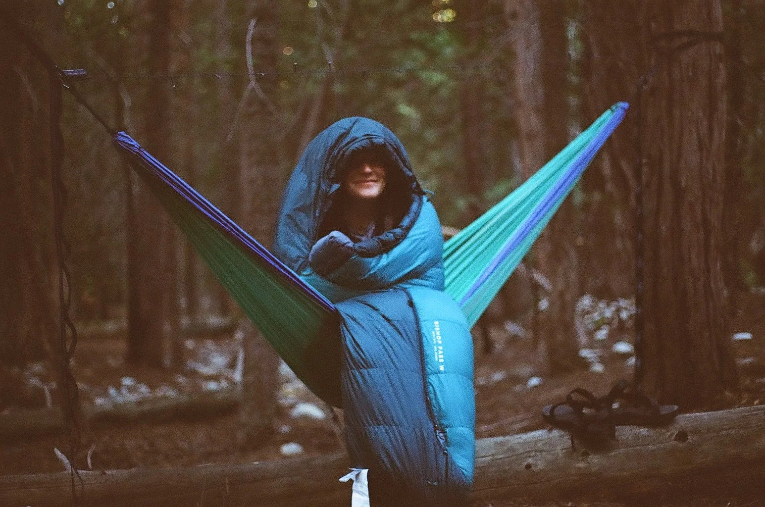
We camped in the Upper Paradise Valley area. We found a nice little spot amongst trees where we could string up and hammock and were close enough to the river to be able to easily refill water. We also found a bear box to leave all over food in overnight.
We hiked 10.52 miles and gained 2372ft of elevation.
Day 3, August 16, 2025: The day started out sunny and warm. Very soon after we started hiking we had to cross over the river. Later you cross over a suspension bridge that only allows for one person to cross at a time. While the three of us crossed in one direction, there was a couple at the other end waiting to cross in the opposite direction. They mentioned a storm was rolling in shortly and to be careful since we were entering an exposed section of the trail that would weave through a meadow.
The temperature was dropping as we climbed higher and clouds rolled in. We stopped to put on more layers and were hit with rain and hail.
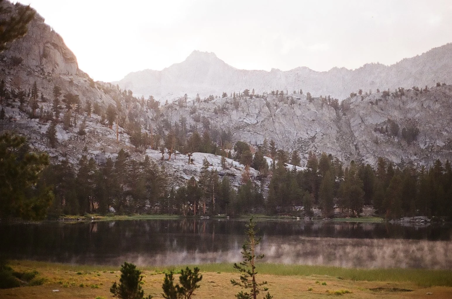
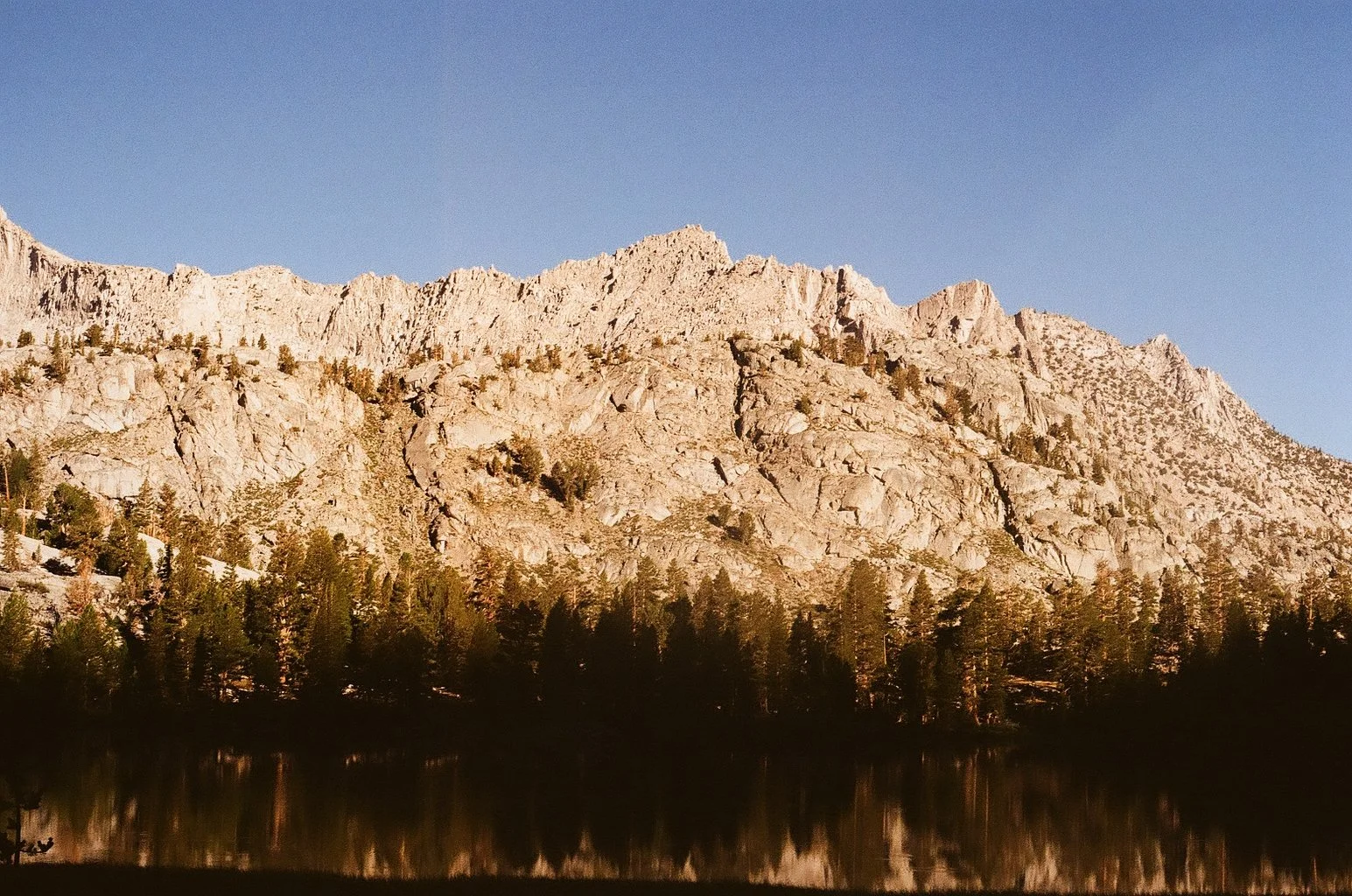
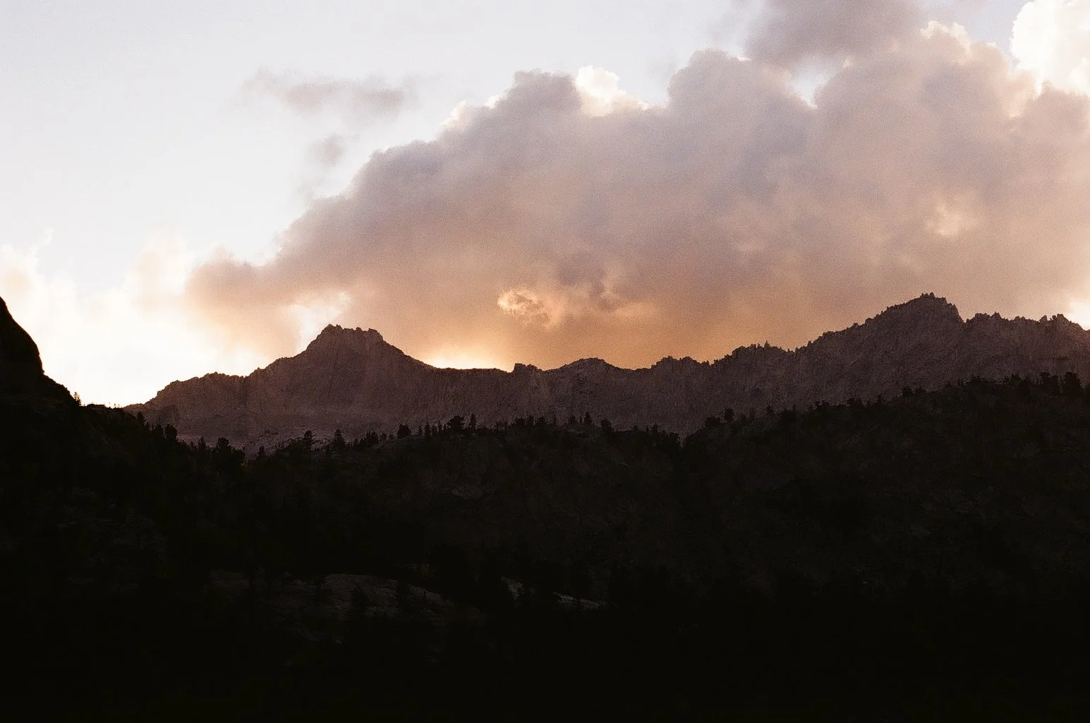
We pressed on past Rae Lakes to Arrowhead Lake so we would start the next morning closer to Glen Pass. The section of the trail leveled out and wove through a lush meadow that required us to criss-cross over little river sections. We camped at the edge of the lake and watched the sunset behind the mountains. We spread out all our wet, rained on clothes in the hopes that they would dry.
It was cold but it was beautiful.
We hiked 12.16 miles and 3901ft of elevation gain.
Day 4 , August 17, 2025: We woke up early, scared and excited to get up and over Glen Pass to avoid afternoon storms and the midday heat. Glen Pass was a series of steep and never ending switchbacks going up an exposed mountain face. Looking up the trail and seeing the tiny specks of people so high up and small was intimidating. Our bodies were tired and the sun was relentless.
We reached a false summit before the most grueling section of the trail where we encountered a group of horses on a PCT restock run. They were majestic and packed to the gils with supplies. When the trail gets really hard, sometimes it delivers something new to contemplate instead of how many more feet you still have left to climb.
We went up up up and made it to the top. All the people we were leapfrogging with up the trail were there enjoying the view. We ate a bunch of snacks and shared Nerds Gummy Clusters. We relished in our accomplishment but not for too long. We still had to get down the other side of the pass.
After a tough uphill, the first couple miles of downhill feels like a relief. Your lungs and muscles are not on fire in the same way anymore. But slowly, your knees start to hurt and your toes won’t stop jamming into the front of your boots. We did switchback after switchback exposed in the hot sun. We stopped for a long lunch and took a quick power nap sprawled out on a granite slab.
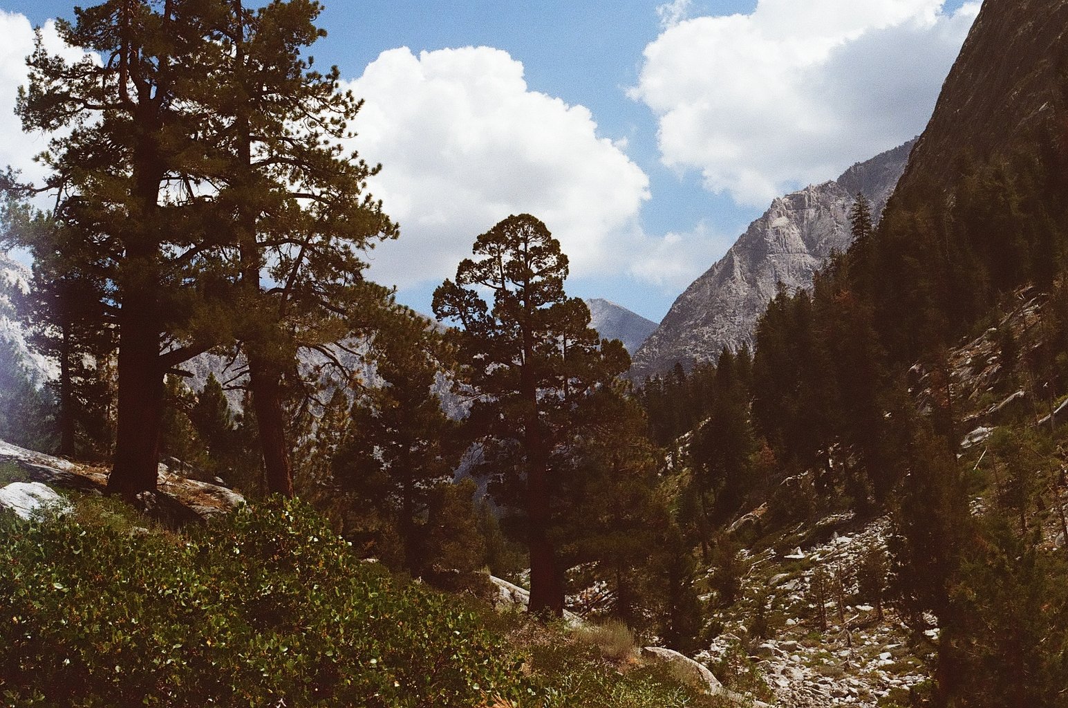
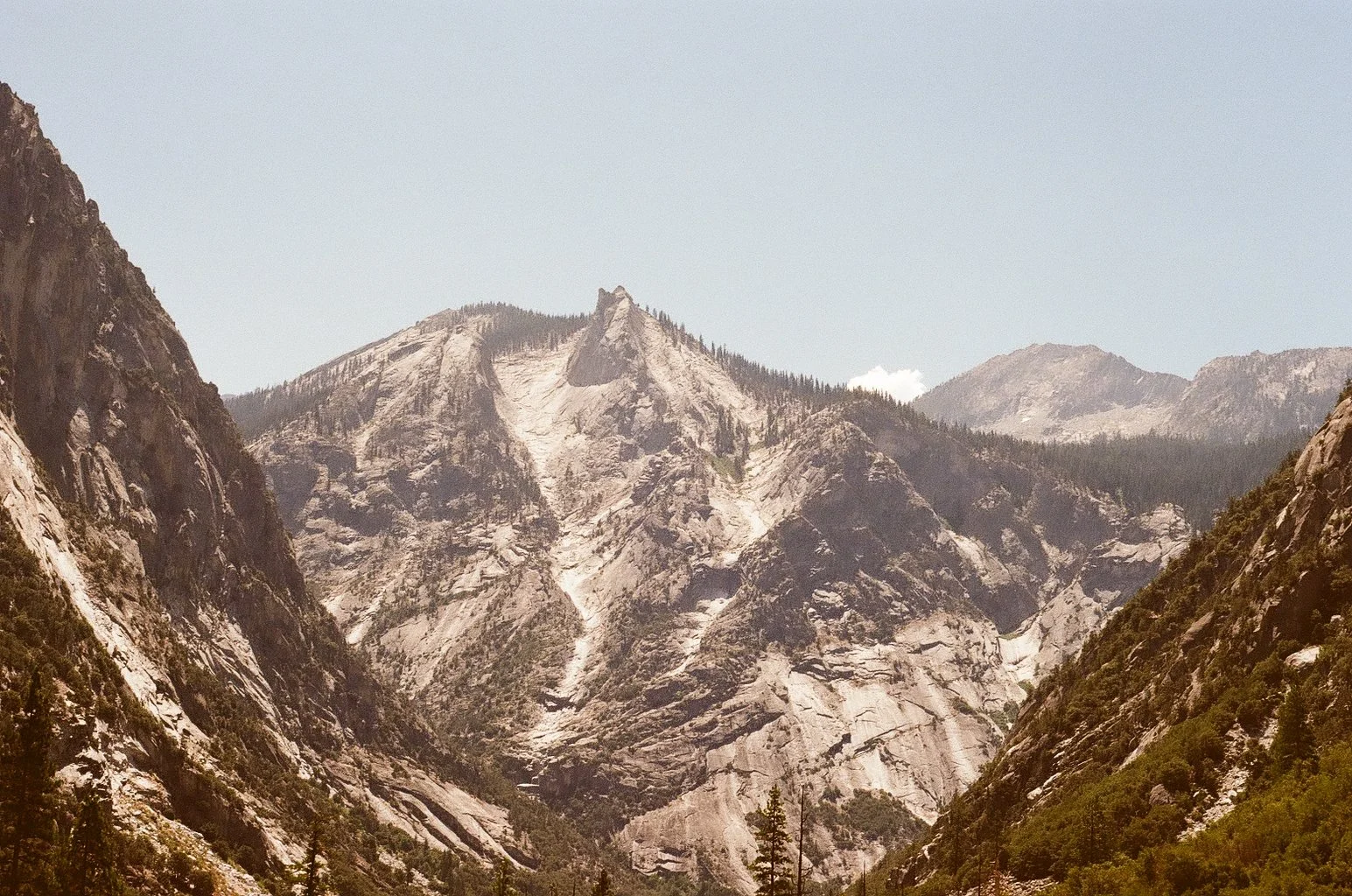
It was hard to believe we were ever high enough to still have so much further down to go. As the sun started to get lower in the sky, we turned into a canyon section of the trail with a view out onto the whole valley. It was so beautiful it brought tears to my eyes. It is hard to contain the gratitude of the amounts of privilege I have to be able bodied enough to see these parts of the Earth, to have friends that want to see them with me and the means to do so.
We camped in the Junction Meadow section of the trail. It was almost dark when we found camp. The day felt so long and we were so tried we basically crawled into out tent once we knew where water was and put our bear cans away from camp.
We hiked 11.71 miles and 1965ft of elevation.
Day 5, August 18, 2025: With our packs light and In-n-Out calling our names and we were excited to finish the last section of the trail.
We encountered an older woman hiking alone that had seen three bears and recently rolled her ankle. She was taking the day to rest and we gave her extra food. She had also collected garbage along the trail to bring out that we took off her hands.
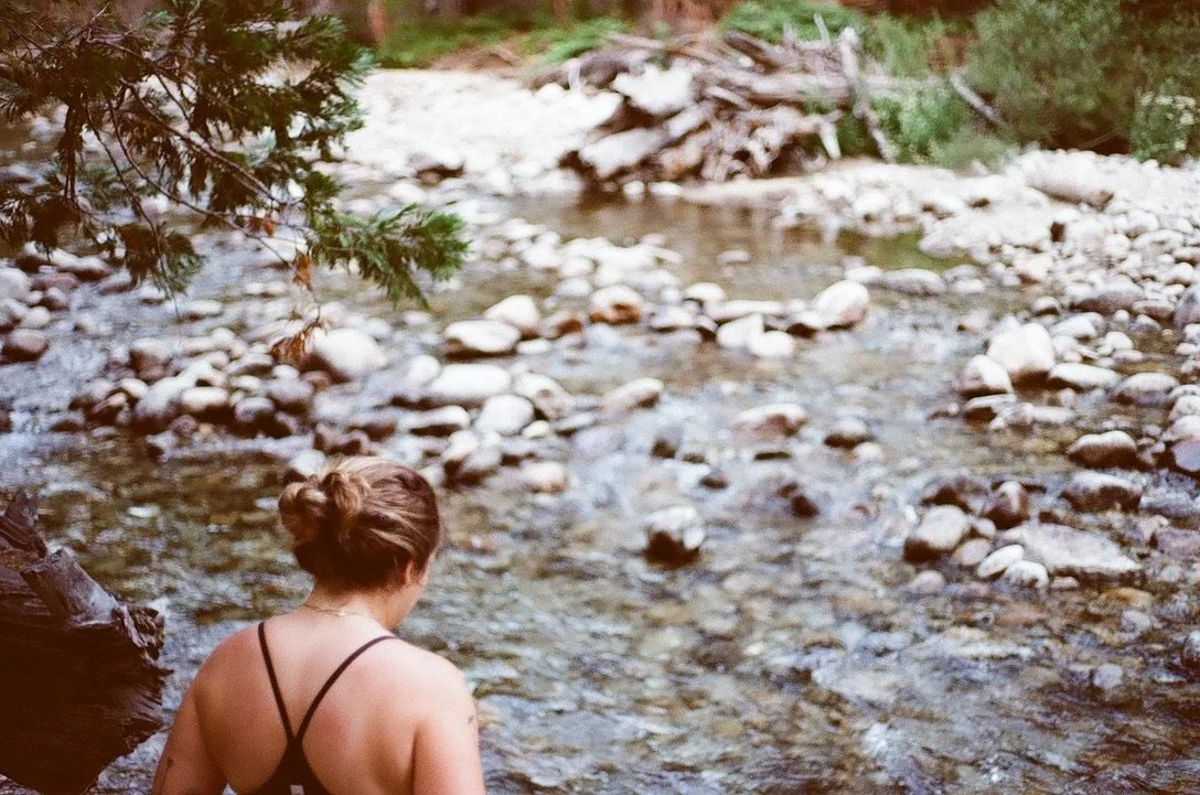
We found the river again and I dunked my whole body in it.
The last section of the trail was through sand flats. There was little shade and they did seem to go on forever. We made it back to the trailhead and the car.
One of my backpacking traditions is to leave a clean set of clothes waiting for me in the car. We all changed and went back to Grant Grove Village to return our bear cans and get something cold to drink from the visitors center.
We relished our dinner and the showers we took when we got to Sierra Lodge where we stayed for the night in Three Rivers, CA.
We hiked 11.28 miles and 312ft of elevation.
Day 6, August 19, 2025: After a lovely night of sleep in a real bed, we went to Sequoia Coffee & Kitchen for breakfast. Our next stop was the Fresno airport to fly back to reality.
Final Thoughts: It was hard but it was perfect. Sequoia is (so far) my favorite national park. Add in an extra day to enjoy camp and the lakes. We really had to go go go to get to camp each night.
Watch our recap vlog.
Pro-Tip: Email the ranger station if you have any questions and dont underestimate how cold it gets at elevation and at night. Pack the puffer!
